Land surveying

Mapping
Land surveying for building and civil engineering projects can be a heavy and time-consuming task using the traditional GPS surveying methods. Our drones will map in high-resolution your site as well as deliver high-quality aerial pictures.
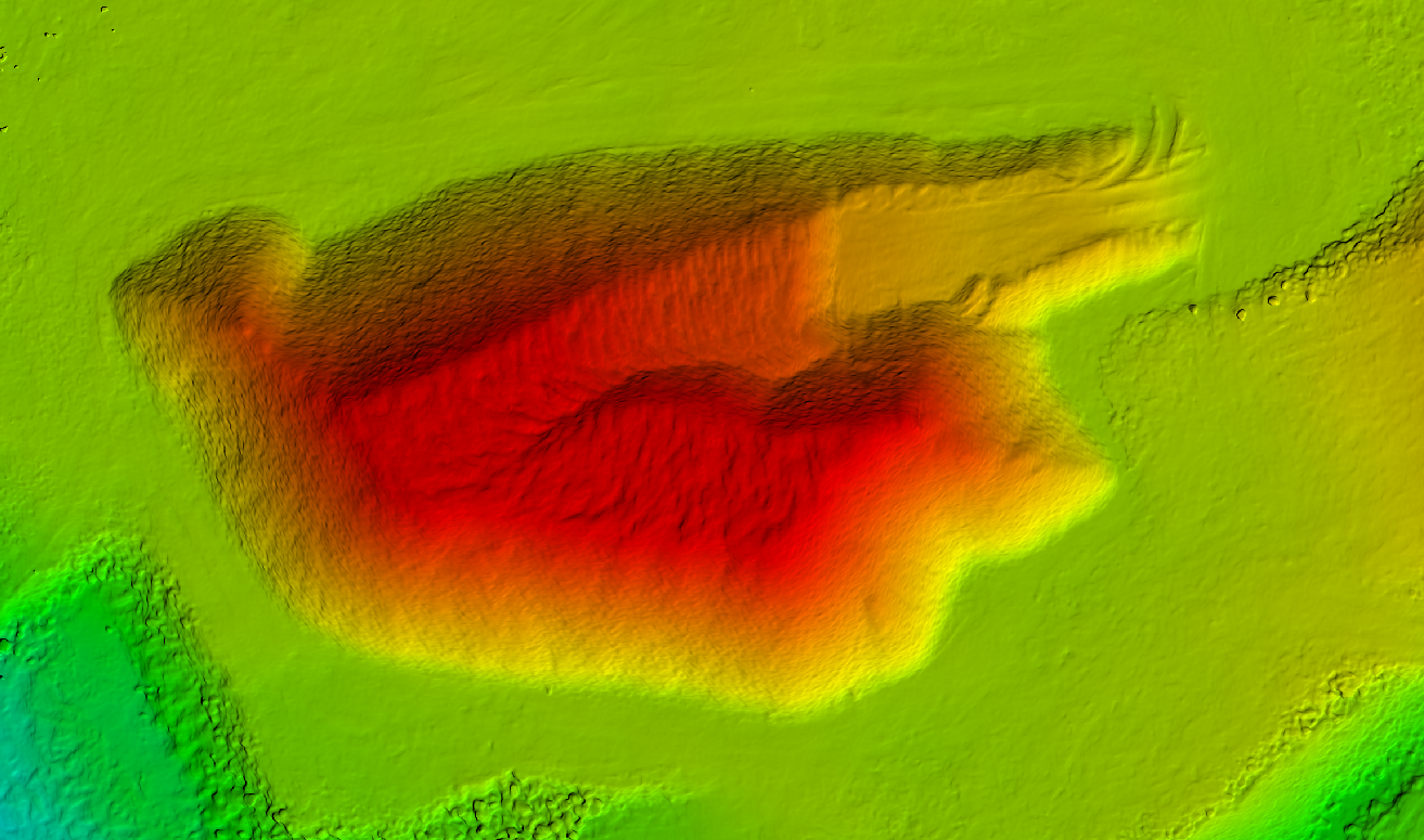
Once we deliver high-quality georeferenced orthophotographs including also the Digital Elevation Model (DEM) it is possible for the Engineers and designers to precisely draw all details with regular CAD software. No need to send a surveyor into the field a second or third time because you are missing some information, all is already in the data we deliver to you.
If you do regular drone surveys you can also follow the evolution of your site and changes over time. It is the best tool when you are building and developing new areas.
Volume measurements
With a 5-20 minutes flight, we can give you an accurate measure of the large volume of material that no manual surveyor can provide you. This is a powerful tool for the building industry, road construction, quarries and waste management sector.
With further processing, we can also use drone data in regular CAD software to calculate volume and surfaces in between two defined surfaces. It is possible to calculate in advance the need for material removal or for an addition of material during building projects or landfills for example.


Accuracy
Accuracy is our main concern when we collect data. While the traditional method is to take points and interpolate in between, photogrammetry method delivers a high-density point cloud that can be later simplified depending on the need for a survey. Accuracy for X and Y axis is typically 2-3 cm.
Altitude accuracy may vary depending on the surface type and the flying conditions. For example, we have managed over 50 hectares area to obtain an error of less than 10 cm between real points and generated point clouds. This is highly accurate compared to interpolated points used in the traditional method as our points are describing real surfaces.
